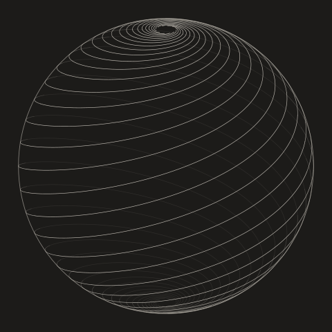
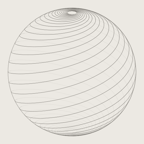
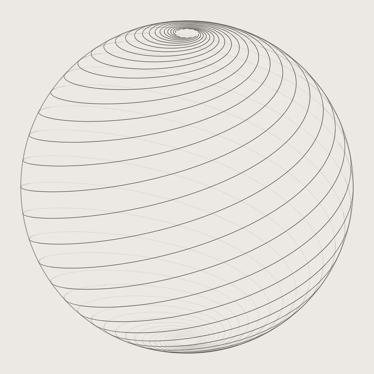
A sailor who holds a single compass bearing, say north-east, is not sailing in a straight line. The meridians all lean in towards the poles, so to cross each of them at the same angle the ship has to keep curving, and its path winds round the Earth in a spiral that circles the pole infinitely many times, and yet the whole spiral has a finite length.
The Portuguese mathematician Pedro Nunes was the first to see this, in 1537. Such a path is called a loxodrome or rhumb line, and it was the sailor's friend, because it needs no change of course. In 1569 Gerardus Mercator drew his world map so that every rhumb line is straight: a navigator could lay a ruler from port to port and read off the bearing to hold.
The price is the stretching towards the poles that makes Greenland look as big as Africa. Look down on a pole instead, in the projection the ancient Greeks used for star charts, and the same paths become logarithmic spirals, like the seeds of a sunflower when both turning directions are drawn.
Choose Globe, Mercator or From above to see the one set of lines three ways. In motion the globe turns: the spirals wind in towards the pole, and on Mercator's map the straight lines slide sideways.
Showed that a constant course spirals to the pole, 1537
Portuguese mathematician and royal cosmographer who showed in 1537 that a ship holding one compass bearing follows a spiral towards the pole, and invented the nonius for reading fine angles.
Flemish cartographer whose world map of 1569 drew every line of constant compass bearing as a straight line, and who first used the word atlas for a book of maps.